Project
Urban Heat Stress & Vulnerability Mapping
Identify heat-stress hotspots and vulnerable zones for climate-resilient planning.
Objective
Identify heat-stress hotspots and vulnerable zones to support climate-resilient urban planning.
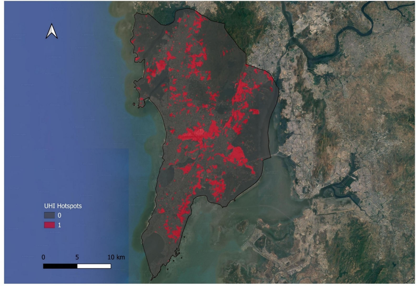
What we did
Using multi-temporal satellite imagery, we mapped Urban Heat Island (UHI) hotspots and classified Urban Thermal Field Variance Index (UTFVI) levels across the metropolitan region. The analysis revealed clear spatial patterns linking surface materials, vegetation loss, and urban density to extreme heat exposure.
Outcome
- City-scale heat hotspot maps
- Ward-level heat vulnerability classification
- Evidence base for cooling strategies, green corridors, and zoning decisions