What we offer
Burn-scar monitoring
Verifying the absence and presence of agricultural burning through repeat satellite observation.
Service overview
A significant share of urban air pollution originates from agricultural residue burning. Penalising farmers for this economical and widespread practice is politically sensitive and operationally difficult.
Instead of attempting to detect individual fires in real time, satellite data allows us to verify the absence or presence of burning through the detection of burn scars — the persistent surface changes that remain after fire events.
By monitoring burn scars rather than fire plumes, confidence in the observation increases substantially. This approach enables defensible monitoring, supports outcome-based policy instruments, and opens new possibilities for enforcement, incentives, and land-use planning. EOF
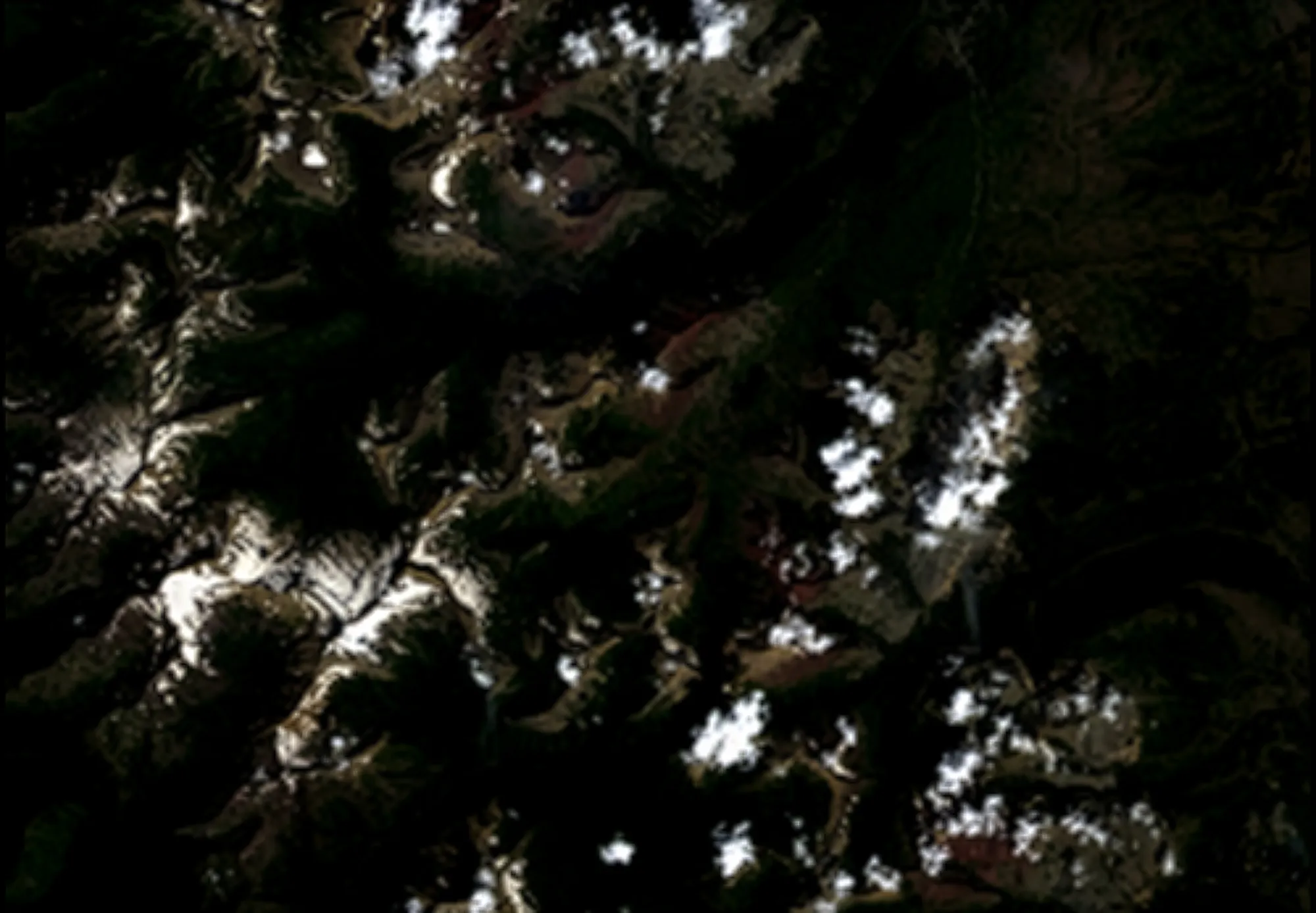
Observed and not observed
What we can see from space
- Vegetation condition and change
- Soil reflectance
- Burn scars (minimum detectable area ~50 × 50 metres)
- Some active fire events
What we can’t see from space
- Continuous, real-time fire activity
- Fields under dense canopy cover
- Exact property boundaries EOF
Analytical approach
Burn-scar monitoring is best approached as observing landscape change over time rather than attempting to detect individual fire events.
Optical satellite imagery (e.g. Sentinel-2, Landsat) is used to track changes in vegetation and surface condition. Indices such as the Normalized Burn Ratio highlight the darkening and drying patterns that typically follow burning. A fire is inferred when these changes exceed normal seasonal variation and persist across multiple observations.
Crucially, the absence of fire is only credible when an area has been observed frequently enough and shows no such persistent change.
To strengthen confidence, radar satellites (SAR, e.g. Sentinel-1) are added. Radar can observe through clouds and smoke and is sensitive to structural and moisture changes in vegetation and soil. When optical data (no burn scar), radar data (no structural disturbance), and thermal detections all agree, we can state with confidence that no significant fire occurred during the observation period, within clearly defined detection limits. EOF
Intended applications
National burn-scar baseline & land-use integrity
Continuous satellite monitoring provides an independent overview of where burning has and has not occurred. Optical data supported by radar creates a defensible baseline of landscape condition and allows authorities to state with confidence where no significant burning is detected within defined limits.
Inspection prioritisation & enforcement support
By flagging only areas with clear burn signals or structural change, satellite data helps inspectors focus on high-risk locations. Areas confirmed as stable by both optical and radar observation can be deprioritised, improving enforcement efficiency and reducing unnecessary field visits.
Incentivisation & compliance schemes
Verified absence of burning can support outcome-based incentives such as subsidies, insurance benefits, or carbon and air-quality programmes. Independent satellite verification makes these schemes transparent, scalable, and low in administrative burden.
Land-use planning & risk reduction
Repeated burn-scar patterns reveal structural fire risks and vulnerable zones at landscape scale. Combined with climate and vegetation trends, this supports forward-looking land-use planning and targeted fire-prevention investments.
Typical outputs
Insights from satellite-based burn-scar monitoring can be integrated into existing reporting and decision workflows as reports or interactive tools.
Typical outputs include:
- Monthly or seasonal reports summarising burn activity and confirmed non-burn areas at regional or national scale
- Inspection briefs highlighting detected burn signals, observation coverage, and confidence levels for targeted field checks
- Interactive dashboards showing burn history, absence-of-burn verification, and regional benchmarks over time
Delivery model
Burn-scar monitoring is context-specific and depends on land use, climate, and typical fire practices. An initial assessment is required to define local detection limits and data availability.
Typical delivery steps:
- Local condition assessment covering fire practices, seasonal patterns, cloud cover, and minimum detectable burn size
- Pilot phase to validate methods, reporting formats, and confidence thresholds in a real policy or enforcement context
- Upscaling to regional, state, or national level with consistent reporting, dashboards, and long-term baselines
Maturity and use today
The scientific basis for burn-scar detection is well established and extensively peer-reviewed, with decades of validation across forest, savanna, and agricultural systems.
While no method can prove that no fire ever occurred, research consensus shows that burn scars above defined size and severity thresholds are reliably detected. Combining optical and radar data significantly increases confidence, particularly in cloudy or smoky conditions.