True colour
Light is not one thing
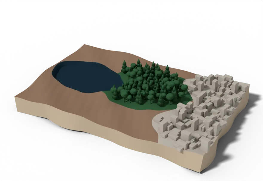
Sunlight arriving at the ground is a mixture. Here is one place under that mixture: a lake, a stretch of forest, a ploughed field, a town at the edge. The view you would recognise from a plane window is already a measurement, because a true colour image is nothing more than the red, green and blue bands laid on top of each other.
550 nm · green
Every surface has a fingerprint
When light hits a surface, some is absorbed and some is reflected, and the split depends on the wavelength. Measure that split right across the spectrum and you have a fingerprint for the material. A leaf answers light differently from water, and differently again from bare soil, and each of them does it consistently enough to rely on.
Above, only green light is left, and the colour has gone with it. What remains is one number for each patch of ground. Look at the forest and the field: eleven percent against fourteen. Almost the same. When two things you need to separate come back with the same value, you cannot map either of them, and you cannot tell when one has turned into the other. That is the gap between having an image and having a measurement you can act on.
665 nm · red
In red light the forest goes dark
Chlorophyll absorbs red light to run photosynthesis, so a healthy canopy sends almost none of it back. The forest drops to about four percent and becomes one of the darkest things in the picture, darker even than the bare field beside it.
The lake is darker still. The town barely moves, because concrete has no pigment doing any work at all.
842 nm · near infrared
Then the same forest turns brightest in the scene
Move less than two hundred nanometres and the same forest jumps to about fifty percent. Nothing about the trees changed. Chlorophyll has no use for infrared, and the internal structure of a healthy leaf scatters it hard instead of absorbing it.
That jump happens between about 700 and 750 nanometres, and it has a name: the red edge. A stressed, drying or dying plant loses it first, before any colour change is visible to somebody standing in the field. This is the single most useful fact in optical remote sensing.
1610 nm · shortwave infrared
Further out, you are measuring water
Out here water itself is what registers. These wavelengths are absorbed strongly by water, so the wetter a surface is, the darker it comes back. Pigment no longer has much to do with it.
That reorders the scene one last time. The forest is full of water, so it dims. The ploughed field is dry, so it overtakes the forest and becomes the brightest surface here. The lake, black since we left the visible, stays black. This is the band you reach for when the question is drought, irrigation or soil moisture.
Everything you have just scrolled past is the same ground, on the same day, untouched. Only the wavelength changed.