
What we offer
EUDR geolocation and deforestation screening
Plot geolocation and satellite deforestation screening for companies placing cocoa, coffee, rubber, soy, palm oil, timber or cattle products on the EU market. Validated, submission-ready evidence behind every Due Diligence Statement.
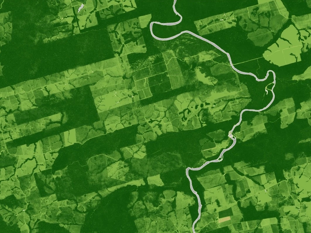
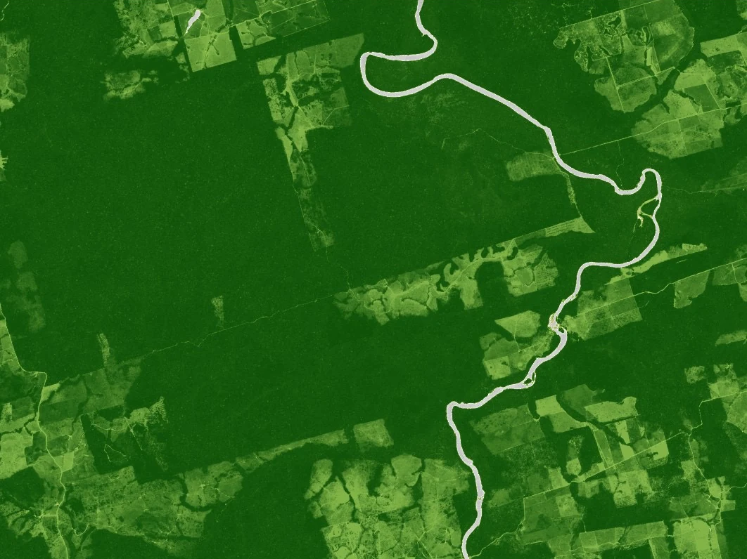
“Do we have geolocation that meets the specification?”
Validated plot geolocation
Points and boundary polygons to EUDR spec at six decimal places, a polygon for plots of four hectares and over, validated against your source records.
“Which plots carry deforestation risk since 2020?”
Deforestation screening
Every plot screened against the 2020 forest baseline, with a risk-flag register naming what was found and where.
“Can this stand behind a Due Diligence Statement?”
Submission-ready evidence pack
Methodology and QA record delivered with the data. You keep the legal filing and sign the statement; we produce the evidence behind it.
Where every plot is, whether any of it sits on land cleared since 2020, and a pack that stands behind your Due Diligence Statement.
From 30 December 2026, companies placing cocoa, coffee, rubber, soy, palm oil, timber or cattle products on the EU market must show that every production plot has been deforestation-free since the end of 2020, with compliant geolocation behind each Due Diligence Statement. Anora Intel produces and screens that evidence: supplier location data in, a validated and submission-ready evidence pack out.
Service overview
The EU Deforestation Regulation (EU 2023/1115) sets a specific technical bar for every consignment:
| Requirement | Specification |
|---|---|
| Coordinates | Decimal degrees, six decimal places |
| Plots under 4 hectares | A single point |
| Plots of 4 hectares and over | A boundary polygon |
| Deforestation cutoff | No deforestation since 31 December 2020 |
| Evidence | Satellite imagery against the forest baseline |
Invalid geometry or an unsupported claim means a rejected statement, and a rejected statement stops the shipment at the border.
In most supply chains this data exists as spreadsheets, supplier declarations and unvalidated GPS points. Turning it into thousands of clean, screened plot records is production work a compliance team is rarely staffed for. Anora Intel does that production, for all seven commodity groups.
Service modules
Geolocation production
Compliant points and polygons at volumeSupplier location data arrives as points, addresses, rough field maps, spreadsheets, or existing polygons of mixed quality. Analysts clean it and build the point and polygon dataset to EUDR spec: six decimal places, the correct point or polygon logic per plot size, validated for format errors, overlaps and self-intersections.
Deforestation screening
Per-plot evidence against the 2020 baselineEvery plot is checked against the 2020 forest baseline, combined with Sentinel-2 change detection over the period since. Each plot is flagged deforestation-free or at-risk, with the satellite evidence behind the flag included.
Risk-flag register
Attention only where risk is realA prioritised list of the plots that need attention before filing. The register lets a compliance team spend its time on the plots where a real question exists, instead of reviewing everything.
Plot monitoring
Standing assurance on screened plotsOptional recurring re-screening of the same plots, with alerts when new change is detected. Useful once a supplier base is stable and the yearly filing cycle repeats.
Applications
EU operators
Importers, traders and manufacturers filing Due Diligence Statements. The legal obligation and the filing stay with you; the plot data production and screening move to us.
Compliance and sustainability consultancies
Firms that hold the client relationship and the regulatory advice, but not the geospatial production capacity. We work as the delivery layer behind the consultancy.
Exporters and producer organisations
Suppliers outside the EU are not the legally obliged party, but without plot data their goods cannot be placed on the EU market. We turn a supplier base’s raw location records into a dataset an EU buyer can accept.